Find an image you would like to download but choose wisely as these are large files! You may want to only do this over a good Wi-Fi connection. 1) In …
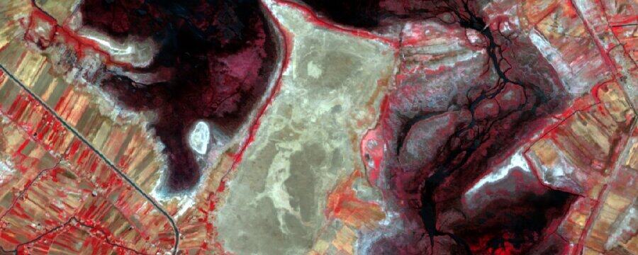
This week we are going to give you an overview of how satellite imagery is created, and show you how you can find, download, and begin to work with satellite …
To make the most of all the amazing satellite imagery and other remote sensing data that is freely available, we will need to use Geographic Information Systems software. A geographic …
Remote sensing is also an excellent tool for monitoring archaeological sites and helping to protect our heritage. Archaeology faces several major challenges due to the accelerating pace of economic development …
Archaeologists are not only interested in archaeological sites themselves, but also in their position in the landscape. To properly understand a site, we should also explore how it relates to …
Archaeological prospection is another way of saying archaeological survey – the process of looking for new archaeological sites. Traditionally this involves extensive fieldwork, surveying landscapes by car or on foot, …
Satellite data allows archaeologists to study vast areas much more efficiently than when they conduct fieldwork on the ground. It can also be done from anywhere in the world, without …
Satellites play a critical role in the modern world. Navigation (powering the GPS in your smartphone or satnav) and communications (transmitting television, radio and telecommunications signals) are two obvious examples! …
This course is based upon training material created by staff of the EAMENA Project from the universities of Durham, Leicester and Oxford. The activity of EAMENA is funded by Arcadia, …
In the next few weeks, we will introduce you to some of the most important remote sensing techniques used in archaeology. Each week will consist of a combination of theory …
Welcome to this course on remote sensing for cultural heritage protection in the Middle East and North Africa. It has been developed by the Endangered Archaeology in the Middle East …
Let us introduce ourselves! The team is composed of Dr William Deadman, Dr Kristen Hopper, Dr Sayantani Neogi, Professor Graham Philip and Dr Dan Lawrence. Will completed his PhD at …