
Landsat 8 & 9 and EarthExplorer
Now that you have a background of what multispectral imagery is, and how it can be of use to archaeologists, let’s try creating some false colour images!
Landsat 8 & 9
Landsat is a long-running (USA) National Aeronautics and Space Administration (NASA) program that has been collecting multispectral images of the Earth for the last fifty years. Nine Landsat satellites have been launched in total, starting with Landsat 1 in 1972, and most recently Landsat 9 in Autumn of 2021. Together they provide an unbroken record of the changing surface of the planet for the last half-century. Some of the satellites were collecting data for a long time. For example, Landsat 5 was operational from 1984 to 2013, so some earlier satellites continued in operation, alongside more recent missions.
 The Landsat missions over time. Courtesy of the USGS.
Over this period, the resolution of the imagery has improved dramatically – from 60m resolution for Landsat 1-4, to 15m with Landsat 8-9. Landsat 1 had a 18-day revisit cycle, while between them Landsat 8 & 9 have reduced this to a mere 8 days. The later satellites carry sensors able to cover a greater number of wavelength bands compared to earlier versions. Landsat 1-3 had four bands (green, red and two near infrared), while Landsat 8-9 have 11 separate bands including two in the mid-infrared (or thermal) range.
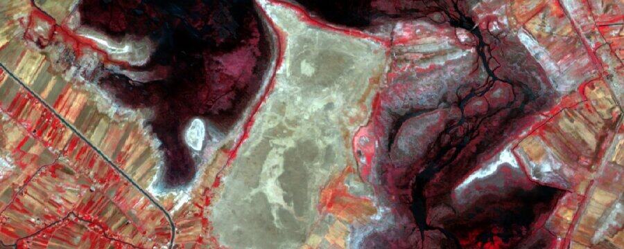
 This Landsat 1 (left) and Landsat 8 (right) image of Madaba illustrates just how much the resolution of Landsat imagery has improved over the course of the program, as well as just how much this historic Jordanian town has expanded. Imagery courtesy of the USGS.
For this exercise we are going to be working with Landsat 8 and Landsat 9 data. The imagery from these missions is almost identical, as Landsat 9 is an exact copy of Landsat 8. Imagery from the entire Landsat program can be downloaded from the US Geological Survey’s EarthExplorer website.
EarthExplorer
The EarthExplorer website is very similar to the ESA’s Copernicus Hub which we used in Week 2, but with EarthExplorer there is even more data to look through!
 The EarthExplorer website – start by clicking the Login button.
To use it you will have to create an account. This can be done by clicking the Login button, and then Create New Account on the login page – or you can click this link.
 Creating an EarthExplorer account.
Once you have created an account, head back to the main EarthExplorer page, click the Login button and login.
Now we can start searching for imagery!
A lot of amazing imagery and other data can be downloaded for free from EarthExplorer, but to see what’s available we first need to define our Area of Interest (AoI).
Selecting an area of interest
EarthExplorer provides a number of different ways of selecting your AoI, but the easiest way is to draw a polygon covering your AoI.
- 1) Navigate to an area that you are interested in. The navigation controls are very similar to those in Copernicus or QGIS.
- 2) Click on the map to add a boundary point for your AoI.
- 3) Add more points until you are happy with the area. Four or five is a good number to aim for.
 Adding points, deleting points, and the Data Sets button.
If you make a mistake, you can delete a point by clicking the big red “x” next to a point in the coordinate list on the left-hand side of the screen.
- 4) Scroll down and click the Data Sets » button.
There are a lot of options on this page, but don’t worry – we only need to find the one right one!
- 5) Find “Landsat” in the list and expand it by clicking the small + to the left.
- 6) Find “Landsat Collection 2 Level-1” and expand it.
- 7) Tick “Landsat 8-9 OLI/TIRS C2 L1” and then click the Results » button.
 Selecting the correct Landsat 8 & 9 dataset.
Browsing your results
The last step will take you straight to the Results tab and will allow you to browse all the Landsat 8 & 9 imagery for your area.
- 1) If you click the foot icon for any single result it will show you the ‘footprint’ of that satellite image – the area that it covers.
 The footprint button.
- 2) If you click the photo button it will show a preview of the image on the map.
- 3) The Show Metadata and Browse button generates a popup with lots of information about the image, including the date it was acquired and how cloudy the image is. This kind of information is often helpful when are looking to select the most suitable image(s) for your particular purpose, out of a large number of possibilities.
 Show Metadata and Browse.
Refining your results
It is very likely that you will have hundreds of images to choose from, so it is helpful to narrow this number down!
- 1) Click on the “Search Criteria” tab, this will take you back to where you defined your area of interest.
 Click the Search Criteria tab to narrow your results.
- 2) Scroll down to “Date Range” and choose a start and end date.
The best timespan will depend on your study area, but a couple of months is a decent starting point. You can also choose a longer period, and then select the specific months that you are interested in using “Search months”.
It is also a good idea to cut out the cloudy images too.
- 3) Click the “Cloud Cover” mini-tab.
- 4) Drag the maximum down to a suitable value – a maximum of 10% cloud cover is a good starting point.
- 5) Click the Results» button.
 Filtering results by date and cloud cover.
Your number of results should have dropped substantially. If there are still too many, you can refine them further by repeating the above process, or if you have too few, you can broaden your filter criteria slightly. Fewer than 25 results is a good number to aim for.
Downloading your image
Select the image you would like to download. These are big files, so choose carefully!
- 1) Click on the Download Options button for your selected image.
- 2) Click the Product Options button.
 Downloading your selected image.
This will give you a list of all the files you can download. You could select only a few specific options, but for now it is easier to just download everything until you are more familiar with what all the files are.
- 3) Click the Landsat Collection 2 Level-1 Product Bundle button.
 Selecting the right file for download.
For some browsers, you may have to allow popups to let the file download properly. The file you are downloading is quite large, so it will take some time, and you may want to do this over Wi-Fi or an unmetered internet connection.
- 4) Once it is downloaded, move the file to the “satellite imagery” folder you are using for this course.
 Getting our Landsat data into the right folder.
Did you find Landsat imagery easier or harder to download than Sentinel-2 for you area of interest?
Advanced Archaeological Remote Sensing: Site Prospection, Landscape Archaeology and Heritage Protection in the Middle East and North Africa

Advanced Archaeological Remote Sensing: Site Prospection, Landscape Archaeology and Heritage Protection in the Middle East and North Africa
Reach your personal and professional goals
Unlock access to hundreds of expert online courses and degrees from top universities and educators to gain accredited qualifications and professional CV-building certificates.
Join over 18 million learners to launch, switch or build upon your career, all at your own pace, across a wide range of topic areas.